By JAN McLAUGHLIN
BG Independent News
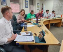
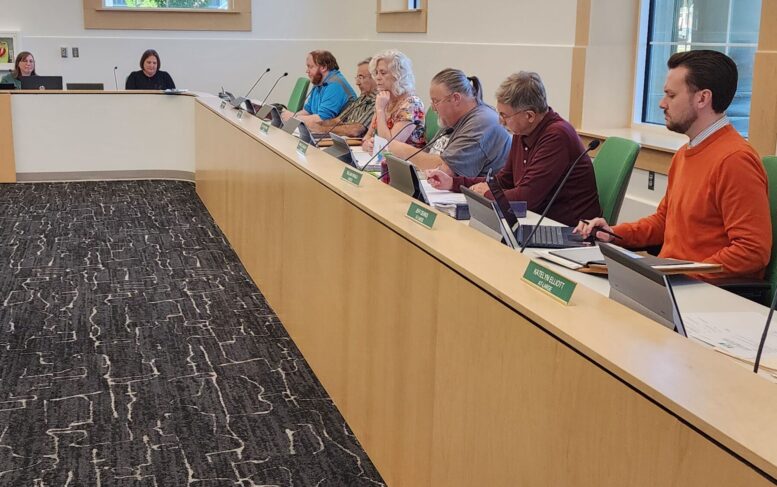
With a vote of 6-1, Bowling Green City Council Committee of the Whole redrew the lines for its four wards Monday evening. The new map was given its first reading, with the second and third scheduled for Oct. 21 and Nov. 2, when council will vote on the redistricting ordinance.
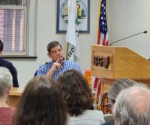
The lone vote against the new map came from First Ward Council member Jordan Musgrave, who objected to the loss of the Wood County Courthouse from his ward.
“It’s important to me that students see their ward has a touch of Wood County and Bowling Green,” making BGSU students see they are part of the bigger picture in the community, Musgrave said.
The new map brings the populations of all four wards into compliance with state law – with a deviation of just 5.15%, said At-Large Council member Katelyn Elliott, who has led the effort to correct the population disparities.
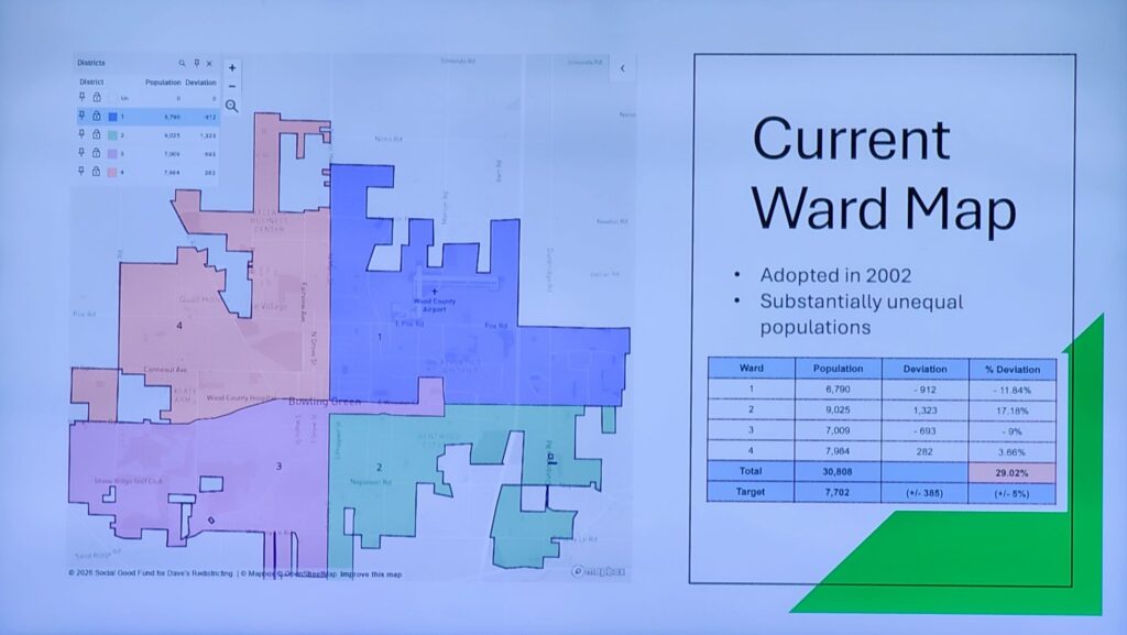
Bowling Green City Council is currently made up of three at-large members and four ward members who represent their wards. The existing ward lines basically run along the community’s main thoroughfares – Main Street and Wooster Street – except for a swath the shape of a hockey stick along East Wooster Street that shifted over to the Third Ward in the last redistricting.
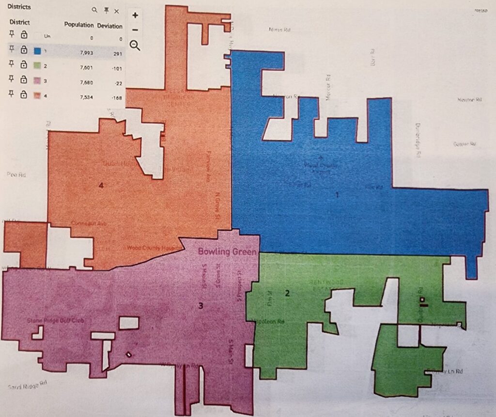
The hockey stick extension is gone in the new map, and the lines deviate from the four wards divided by the main roads in town. For example, on the new map Ward 3 crosses east of Main Street to the CSX Railroad tracks, and north of Wooster Street to cover much of the downtown.
The new lines keep the entire BGSU campus in Ward 1, and extend Ward 3 to cover all the Historic Boomtown areas of the city.
Council President Mark Hollenbaugh said the new map has an eye toward future growth in the city. He is hopeful the proposed map will keep the city wards in compliance after the 2030 Census.
“I believe most of the growth going on now is in the third and fourth wards,” he said. “I think they will grow themselves into compliance.”
Last month, Bowling Green residents submitted 24 maps of how City Council’s four wards could be divided. Then City Council’s Committee of the Whole narrowed the field to the top three maps in the running for redistricting the wards. From there, the three map options were posted on the city’s website, with an opportunity for local residents to unofficially vote for their favorites.
The creation of new ward maps is necessary since the city’s current council wards are not evenly divided.
The U.S. Supreme Court has ruled that state and local districts must be “substantially equal” with the population difference between the largest and smallest districts being no more than 10% of the average district population. The total deviation in Bowling Green is currently near 29%.
The goal was to draw maps that were contiguous, compact, and constitutionally correct.
The last time Bowling Green City Council drew new lines for its four wards was in 2002, following a long drawn out battle from BGSU students seeking fair representation.
Twenty-four years later, the ward maps have remained the same while the populations have shifted. The ward representation on City Council is now lopsided, with the most populous ward having 2,235 more residents than the least populous with 6,790 residents.
Bowling Green isn’t alone in its delayed redistricting efforts. Wards often naturally fall out of compliance because of local population shifts.
City Council must pass an ordinance that is effective 150 days before the next municipal primary election. The new ward map must be forwarded to the Wood County Board of Elections by early December.
The new wards must have nearly equal population totals to each other, must not discriminate or otherwise violate the Voting Rights Act of 1965, and must be composed of adjacent and compact territory.
According to the numbers from the 2020 census, the city’s second and fourth wards have too many residents compared to the first and third wards. The city’s total population of 30,808 should be divided into roughly 7,702 per ward. That would put the city in compliance with a target deviation of approximately 5%.
But the current lines divide the population as follows:
- First Ward: 6,790 residents, which is an 11.8% deviation.
- Second Ward: 9,025 residents, which is a 17% deviation.
- Third Ward: 7,009 residents, which is a 9% deviation.
- Fourth Ward: 7,984 residents, which is a 3.6% deviation.
The only elections that will be impacted by the new lines are the four ward council member races.
In Ohio, municipalities typically must redistrict either following the decennial census, or when the number of voting wards or total seats on council changes. Municipalities can also redistrict at any time if the city wards do not have substantially equal populations.
Hollenbaugh noted the transparent process conducted by City Council on the redrawing of the wards. That will continue until council votes on the new map on Nov. 2.
“People will still have a chance to weigh in,” he said.