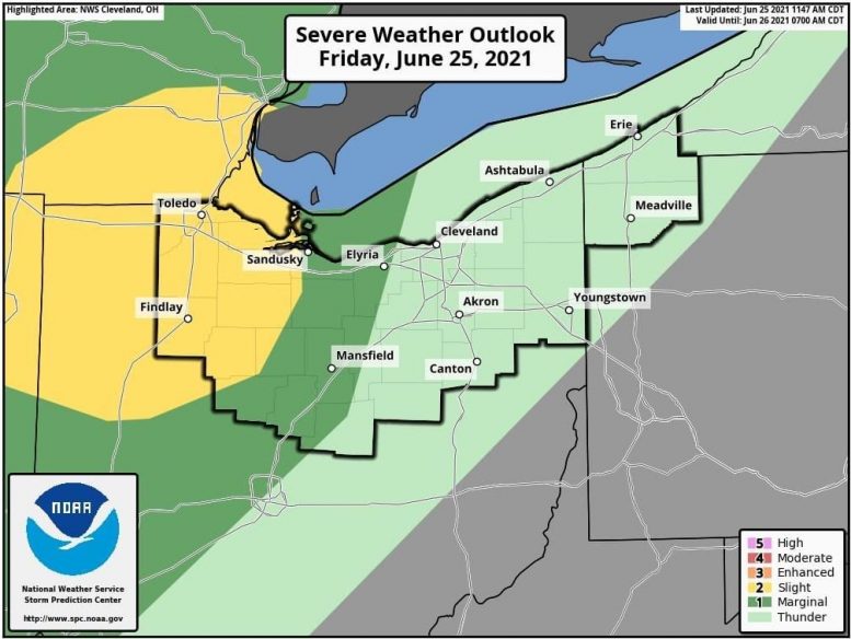
According to the Wood County Emergency Management Agency, the severe storm threat tonight is very contingent on whether enough partial clearing and daytime heating occur by this late afternoon/early evening for sizable instability (i.e. fuel for storm development and maintenance) to occur.
If we were to deal with severe storms in Northwest Ohio, the best window would probably be between 5 and 9 this evening. Based on the potential environment, damaging wind gusts are the primary threat, while an isolated tornado is a secondary threat.
Of bigger concern is localized flash flooding this evening and perhaps overnight tonight across Lucas, Wood, Ottawa Counties, and vicinity. That area should experience multiple rounds of showers and storms with torrential rainfall through this evening and perhaps overnight tonight.
The Wood County EMA will continue to monitor.

