From WOOD COUNTY EMERGENCY MANAGEMENT AGENCY
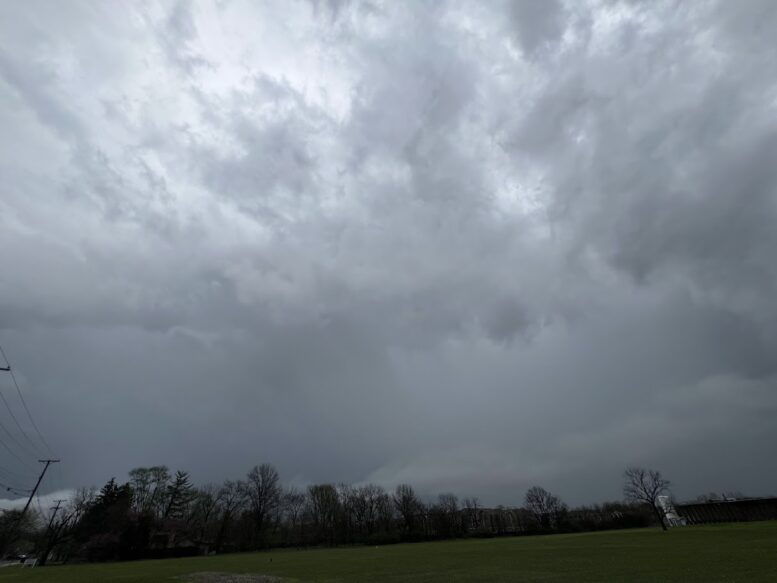
Multiple rounds of showers and thunderstorms will continue across the region today, Aug. 10, through Wednesday, Aug. 12.
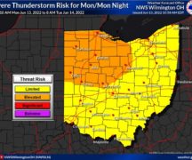
Organized thunderstorms with the potential for damaging wind gusts are possible this evening and tonight, and possibly Tuesday and Wednesday. A tornado or two is also possible with storms this evening and tonight.
Storms will bring heavy, efficient rainfall to the region through Wednesday. Multiple rounds of rain will allow for 1-3″ of rain with locally higher amounts where storms repeat. The heaviest rain looks to focus over southwest portions of the area from roughly Bowling Green to Canton. The risk for flash flooding will increase daily.
Each day’s potential for severe weather and heavy rainfall/flash flooding will be conditional on both shower and storm activity entering from the west and the previous day’s activity. There is potential for storm activity to favor northern Ohio and northwest Pennsylvania and bring several rounds of severe weather and multiple rounds of heavy rain that will lead to flooding. There is also potential for storm activity to become less favorable in the area and settle further west or south. This would reduce the overall severe and flash flooding risks through Wednesday.
Considerations:
- Secure all loose outdoor items before bed.
- Have flashlights with fresh batteries close by.
- Keep cell phones charged.
- Always have multiple ways to receive emergency notifications.
Wood County EMA will continue to monitor and provide updates as deemed appropriate.