The Wood County Emergency Management Agency has issued the following advisory:
Wood County is under a Winter Weather Advisory in effect from 1 p.m. Wednesday to 7 a.m. Thursday morning.
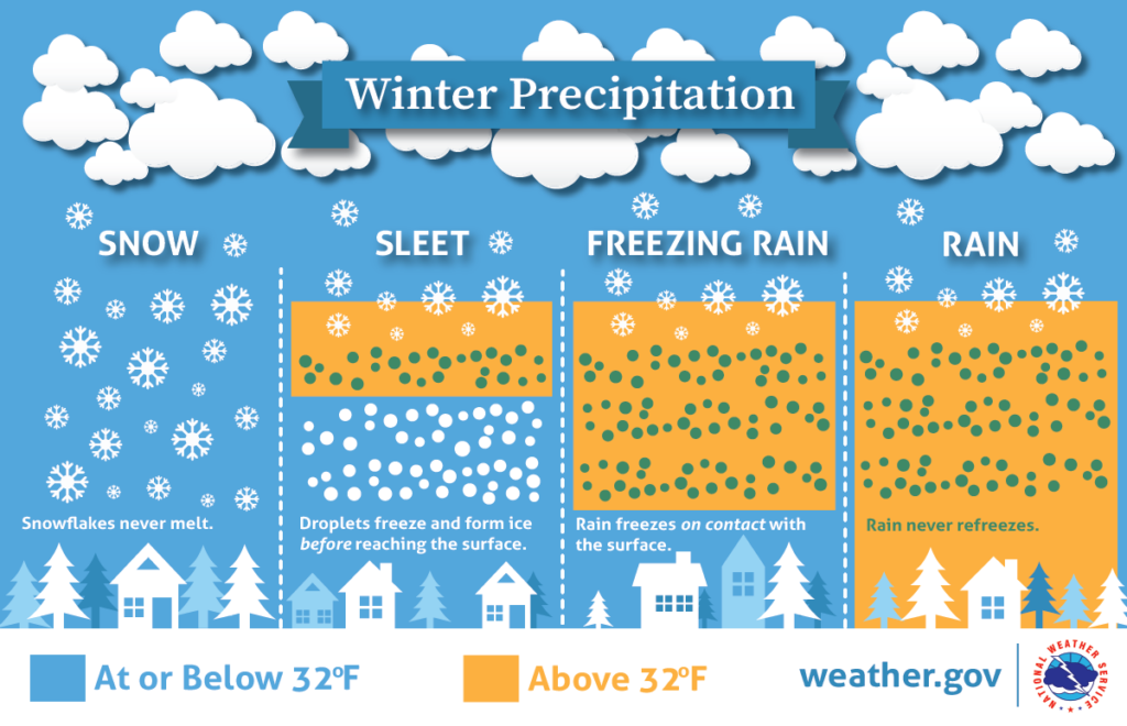
Event Precipitation forecast: Snow is expected to develop around 1 p.m. tomorrow and continue through 5am Thursday with sleet and freezing rain mixing in between 6 p.m. tomorrow and 4 a.m. Thursday. Snow accumulation is forecasted ranging 1-1.5 inch, ice accumulations ranging 0 .10-0.15 inch, and sleet accumulation near 0.20 inch are expected. The highest uncertainty will be in the amounts due to the various transitions between precipitation types.
Wednesday: Temperature highs will be in the lower 30s with lows in the lower 20s. Winds will be easterly at 10-20 mph with gusts to 30 mph.
Thursday: Temperature highs will be near 30 with lows in the mid 20s. Winds will be westerly at 10-20 mph with gusts to 30 mph.
Two more systems will move through Friday night into Saturday, and Saturday night into Sunday. The current forecast is these will mostly be rain. The greatest chance for snow will be late Saturday into Sunday.
Next week temperatures are forecasted to drop to single digits in the extended forecast.