The Wood County Emergency Management Agency has issued the following advisory:
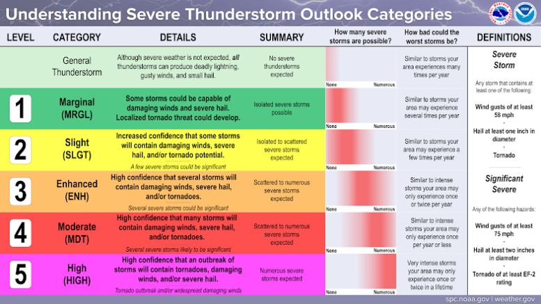
Wood County has been to the “Slight Risk” for Severe Weather this evening. Additionally there is an area of “Enhanced Risk” to our west that has shifted closer to us since this morning’s forecast. This morning’s information packet from North Webster Indiana, indicated high confidence for severe weather in the Enhanced Risk area. With that area expanding slightly our direction that could also increase the severity of storms that could develop in Wood County.
Currently there is about a 30% chance of thunderstorms through 11 p.m., increasing to 60-70% between midnight and 3 a.m. Lightning and damaging winds to 60 mph will be the primary hazard with rainfall amounts near 0.30 inches are expected.
Timing of nighttime storms are always a concern for us due to people sleeping and limited visibility due to the darkness. We are encouraging everyone to take the following steps to make sure you are prepared:
- Have multiple ways to get emergency notifications CodeRED Wood County’s Mass Notification System, NOAA Weather Radio, phone apps and local media.The link to sign up for CodeRED https://public.coderedweb.com/CNE/en-US/BFAB7B074BCD
- Have flashlights in your sleeping areas should the power go out.
- Have a location to seek shelter should the need arise
- Secure any loose outdoor items.
With the potential for high winds tree damage as well as utility disruption can be expected and prepared for.
The EMA will be monitoring and will provide updates as appropriate.