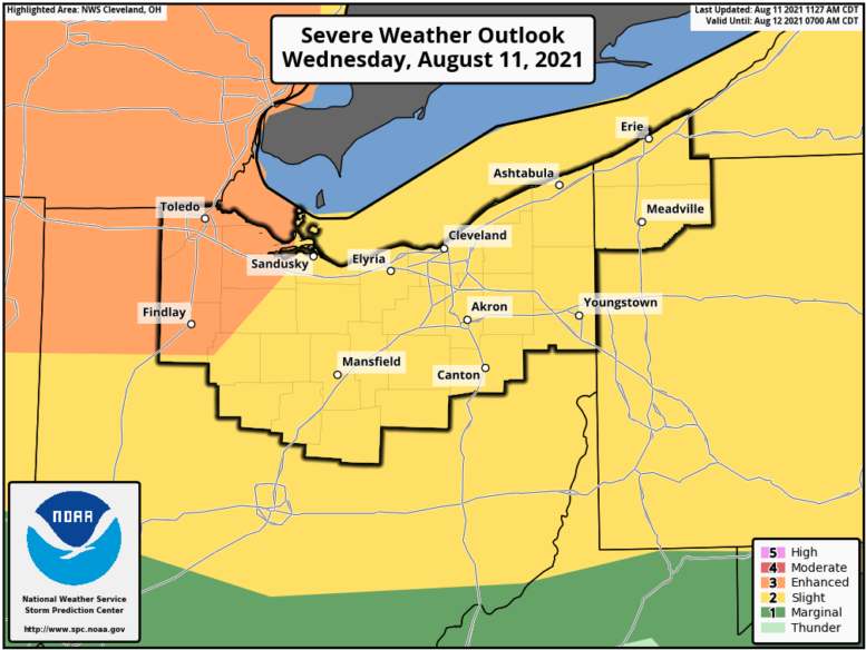
Wood County is under an “Enhanced Risk” for severe weather this afternoon. This risk level is not seen very often in the county according to the Wood County Emergency Management Agency.
The county can expect damaging wind gusts in excess of 60 mph, large hail and torrential rainfall as well as a small chance of a tornado. Now is a good time to secure any loose outdoor items that could become a damaging projectile.
This weather event is currently expected between 3:30 and 4:30 p.m. If possible, consider modifying your drive time to before or after the storm front moves through. If you must drive, have a plan of action you can take should severe weather occur while you are in transit.
Make sure you are signed up for CodeRED, monitor local media, weather apps and conditions.
Wood County EMA will monitor conditions and provide updates as needed.
The following links can be bookmarked for the latest information:
Updates from the Storm Prediction Center can be found at www.spc.noaa.gov/
As storms develop, Local Storm Reports can be found here.
The latest forecast for your location can be found by clicking on the map at www.weather.gov/cle.