By JAN LARSON McLAUGHLIN
BG Independent News
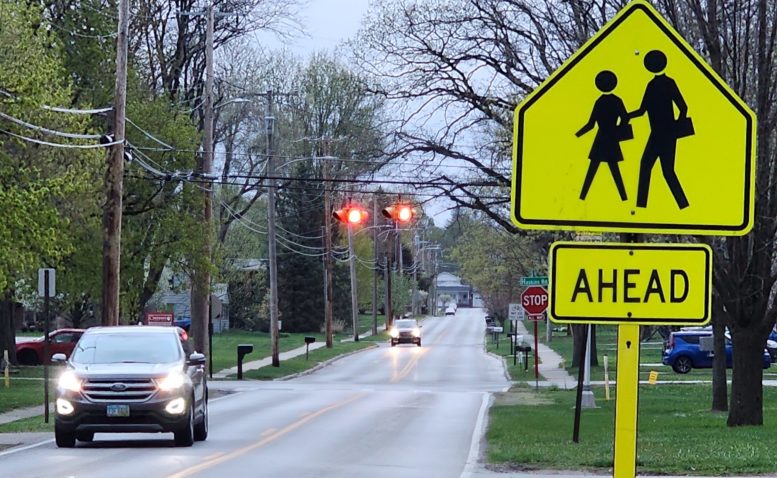
The City of Bowling Green is taking steps toward making the community more walkable for students headed to and from school. Those steps may include sidewalks, bike accommodations and pedestrian crossings.
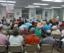
On Monday evening, Bowling Green City Council heard the first reading of an ordinance appropriating $50,000 for a Safe Routes to Schools travel plan and study.
Council also heard the first reading of an ordinance giving the city’s director of public services the authority to enter into contracts for consulting services to draft a Safe Routes to School travel plan and study.
The city plans to contract for consulting services to assist in the drafting of a Safe Routes to School travel plan. Mayor Mike Aspacher had mentioned the study recently during his State of the City Address. Aspacher was absent from Monday’s meeting after having a medical procedure and recovering at home. Serving as acting mayor is City Council President Mark Hollenbaugh.
The consultant will meet with and gather input from public and private schools throughout the city, evaluate community needs for improving safety, and draft school travel plans.
Once the comprehensive plan is complete, the schools and city may apply for Safe Routes to Schools programming grants, and the city will be eligible to apply for SRTS infrastructure grants.
The infrastructure grants may fund projects connecting missing sections of sidewalk, bicycle accommodations, pedestrian crossing improvements and more. Infrastructure grants fund 100% of eligible projects, up to $500,000 each year.
Public Services Director Joe Fawcett also gave council updates on other projects that should promote walking in the community.
In an effort to improve the walkability of Maple Street between City Park and the Slippery Elm Trail, the city is studying the installation of pedestrian hybrid beacons where Maple meets Sand Ridge Road and West Wooster Street.
The city will look for Ohio Department of Transportation funding for up to 90% of the pedestrian crossing costs.
Fawcett also gave council an update on the shared use path planned to link Crim Elementary School with Carter Park. That project may cost up to $2 million, with the city also looking to ODOT for 90% of the expense. (A story later this week will have more details on this proposed path.)