The Wood County Emergency Management Agency has issued the following advisory:
Wood County may have a few snow flurries this afternoon with only a trace amount of accumulating snow.
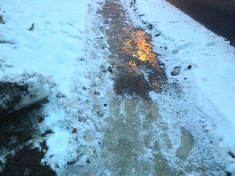
Freezing rain is expected to start around after 9 tonight and continue through about 7 a.m. For any leftover moisture left beyond 7 a.m. is expected to be warm enough for a drizzle and melting conditions during the morning hours. We can still expect ice accumulations between 0.10-0.15”, but a few locations could see up to 0.20”.
Pavement temperatures are expected to rise above freezing by 8 a.m. with wet pavement the remainder of the morning. The consensus is the roads should improve after sunrise.
Summary:
- Poor road conditions during the nighttime hours
- 8am main road conditions should be improving.
- Rural, side streets, less traveled roads may be ice covered early in the morning.
- Give yourself extra time for your morning commute.
- Call ahead before traveling to make sure there are no delays/closures at your destination.
Currently we have a similar weather event for Saturday creating transportation concerns to be aware of.
