By JAN McLAUGHLIN
BG Independent News
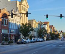
Even townies and local history buffs may learn a bit from the 16 historic interpretive signs installed around Bowling Green on Thursday afternoon.
For example, fires destroyed many notable buildings in the city – an opera house, hotel, church, and sometimes swept through a downtown city block before being stopped.
The signs reveal the location of a YMCA facility once housed in the downtown, a bar on North Main Street that served as a livery, and homes used as marriage mills for fast weddings.
And just who are those people whose names were important enough to adorn the front peaks of many downtown businesses? Many of them were Civil War veterans, who heard tales of the oil boom just south of Bowling Green. They figured the oil would bring people with money to spend.
Many of those names were the movers and shakers in the city, serving on the Bowling Green Board of Trade. Together they worked to bring BGSU, factories and the armory to the city.
“They really knew how to flaunt our positives,” Bowling Green Planning Director Heather Sayler said.
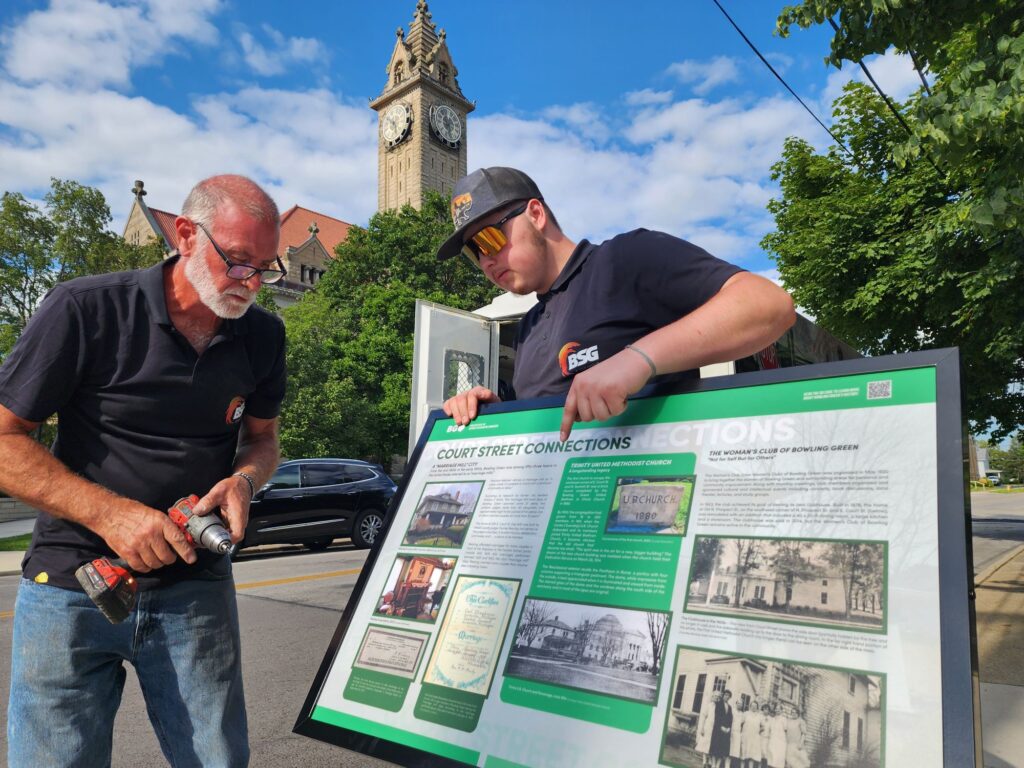
The city has some stories to tell – and now many of them are told with old photographs and research on signs erected in the downtown, by the courthouse and in Wooster Green.
As Yoshi Johnson, a 36-year-old “townie,” walked by a sign on East Wooster Street, he couldn’t resist taking a peek.
“That’s actually pretty cool,” he said, suggesting that “these young whippersnappers” walking by should check out the markers. “I’m looking forward to checking out more of this stuff.”
The signs point out sites known for their architectural feats, their famous owners, or disastrous fates.
The downtown hosted famous visitors like Hollywood heartthrob Clark Gable, and was the site of a shootout with infamous gangster bank robber Pretty Boy Floyd. It was where Jimmy Hoffa came for a quick, few questions asked, wedding.
Bowling Green was linked by interurban lines to Toledo, Findlay and Pemberville. The rails ran in roadways, with electric lines powering them from above. That was until the automobiles became commonplace, and many people stopped traveling en masse.
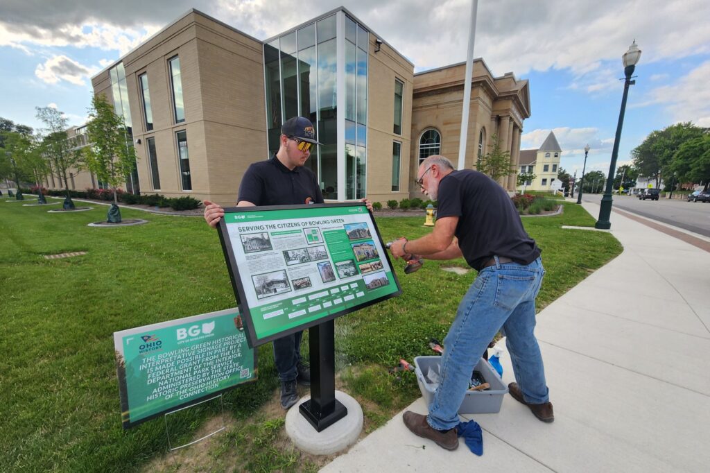
The signs tell these stories and more, giving shop patrons and pedestrians a glimpse at the downtown area during its glory days, its disasters, and its rebuilding.
“This is our gift to the community,” Sayler said, of the signs that were researched by the BG Historic Preservation Commission and “Friends” of the organization.
“I hope they learn about Bowling Green history. I don’t think we talk about it enough,” Sayler said.
Geoff Howes, a member of the HPC and a history buff, said he learned quite a bit while researching the signs, including details about the ornate downtown storefronts, and the risks from fires.
“There were more fires than I thought,” he said. “A lot of the buildings we don’t have anymore are because of fires.”
For example, the story is told of the Lincoln Building (at the northeast corner of Main and Wooster streets) thought to be the oldest building still standing in the downtown. Built in 1874, it survived two massive fires in the downtown, only to have its front facade caved in when a cattle truck crashed into it in 1944.
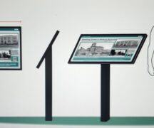
The 2-foot by 3-foot signs are each mounted on a single steel pedestal, and are designed to last up to 20 years.
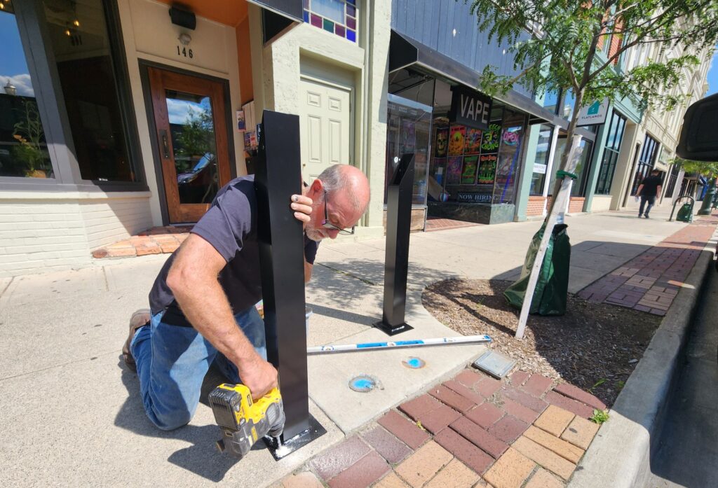
Following is a list of the signs installed in the downtown area:
- A general history of downtown architecture, dominated by Queen Anne and Classical Revival, with some Italianate and Romanesque styles, mostly built after the Civil War.
- Information about former schools, with that sign to be located in Wooster Green.
- A description about the Boom Town area created by revenues from the oil boom, also to be located in Wooster Green.
- The area of North Church Street and North Main Street once used for the old post office, school, library and city hall. The sign will be placed between the new city building and the library.
- The northwest block of downtown, focusing on the ClaZel theater, Masonic Temple, butcher shop, drug store and other businesses.
- The police building, on West Wooster Street, telling about the former courthouse, town hall and fire station.
- The southwest block of downtown, highlighting the “Union Block,” the classic Lehmann Building, the Brown Hotel and former bank.
- Churches, describing some current churches around downtown, architecture, and some that have been changed into homes, with that sign being posted in Wooster Green.
- Northeast block, including the “Lincoln Block” which has the oldest block dating back to 1874, and site of a famous truck crash.
- Southeast block, which boasted the Millikin Hotel, an opera house/ballroom, earlier hotel, plus stories of Clark Gable, oil money and Pretty Boy Floyd.
- Hankey block, established by a veteran of the Civil War, during the oil boom days.
- Wood County Courthouse, which is on the National Register and is a locally designated historic landmark, located on East Court Street.
- East Court Street area, with Trinity United Methodist Church, the old Women’s Club and houses used for “marriage mill.”
- Southeast corner of South Prospect Street and East Wooster Street, featuring the old armory and funeral home, known to have one of the first female embalmers and funeral directors in the country.
- Northeast corner of North Prospect Street and East Wooster Street, highlighting the former Ross Hotel and church.
- A sign dedicated to transportation in the city, including interurban lines, trolley cars, horse drawn buggies, bicycles, trains and early vehicles.
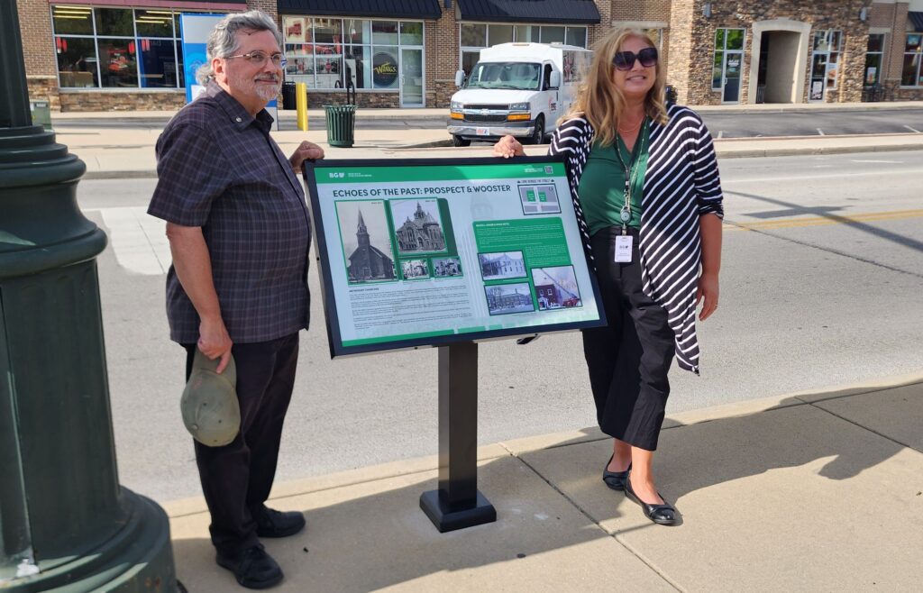
The city’s Historic Preservation Commission was awarded a grant to place the historical interpretive signage in the downtown area. Local historians, designers, and the Bowling Green Historic Preservation Commission collaborated to ensure that the signage accurately reflects the city’s historical significance.


