The Wood County Emergency Management Agency has issued the following advisory:
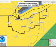
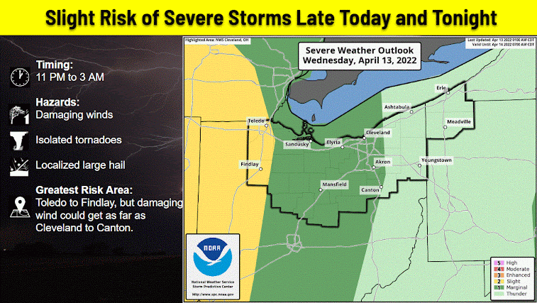
Wood County continues to be in the “Slight Risk” category for severe weather today. On the positive, the “Enhanced Risk” in Indiana has moved farther to the west.
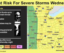
We are still anticipating several rounds of wet weather today. The first round is expected to start around 10 a.m. with the highest potential for thunderstorms between 11 a.m. to 4 p.m. Rain will continue throughout the day with the second round of thunderstorms developing between 8 p.m. and 2 a.m. Damaging winds will be the main concern, but hail and isolated tornadoes will be possible. Rainfall amounts will be about ½ an inch.
The timing of this evening’s severe weather could be an issue if it occurs during times people are sleeping. Please make sure when going to bed tonight you have multiple methods of receiving notifications (CodeRED, NOAA Weather Radio, phone apps, etc). Also make sure that cell phones/ back-up batteries are charged, phone ringers on, flashlights are nearby and have working batteries, and that you have any other supplies you may need.
We will continue to provide updates as appropriate.